Get decision ready underground mapping, faster and with less risk.
SafeSight provides scalable capture, automated processing, and secure portal access that turn raw scans into confident decisions for survey, operations, and safety teams.
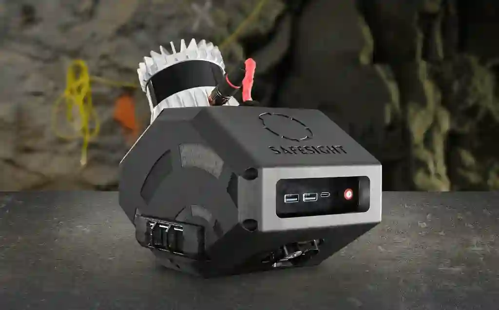
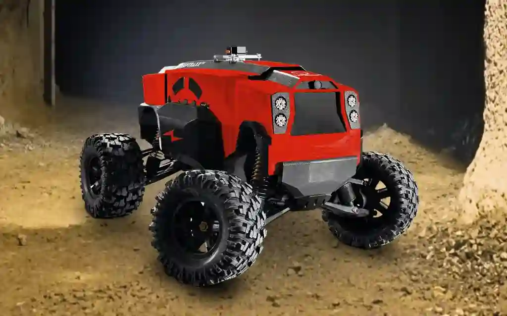
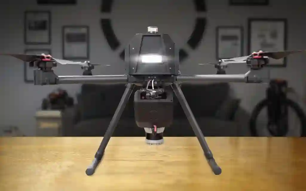
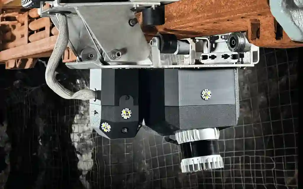
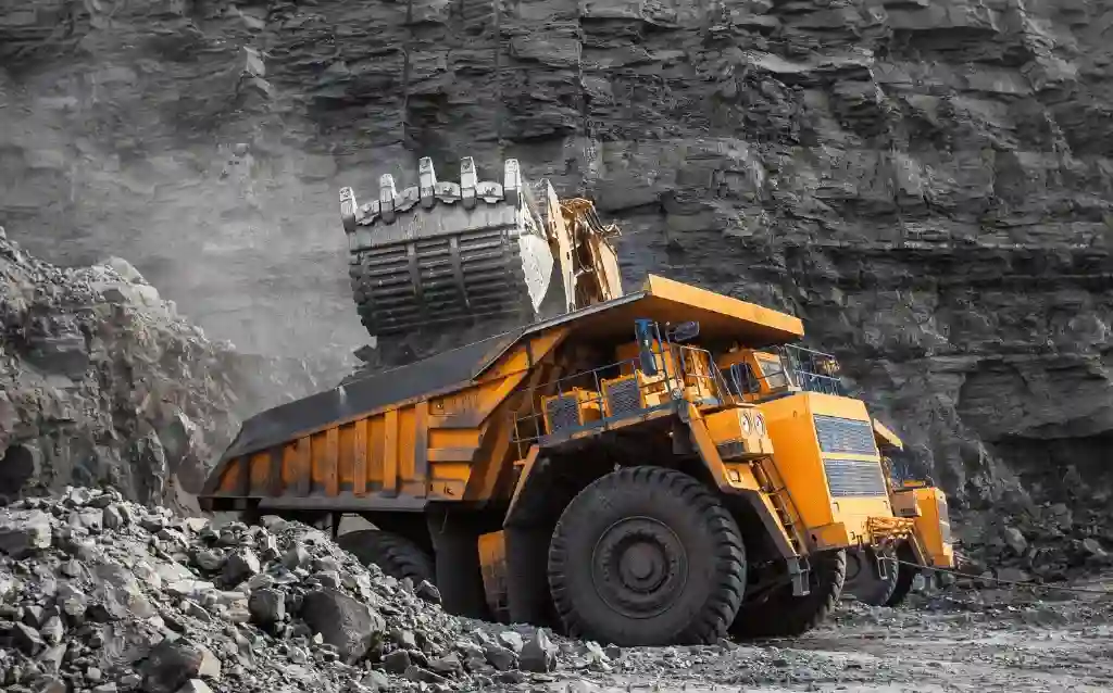
SafeSight helps you capture high-density LiDAR and imagery in minutes using vehicle-mounted, rover-based, or drone-based deployment. Fewer people enter active headings while more data is collected in a single pass, reducing repeat trips and downtime.
2. Automated processing
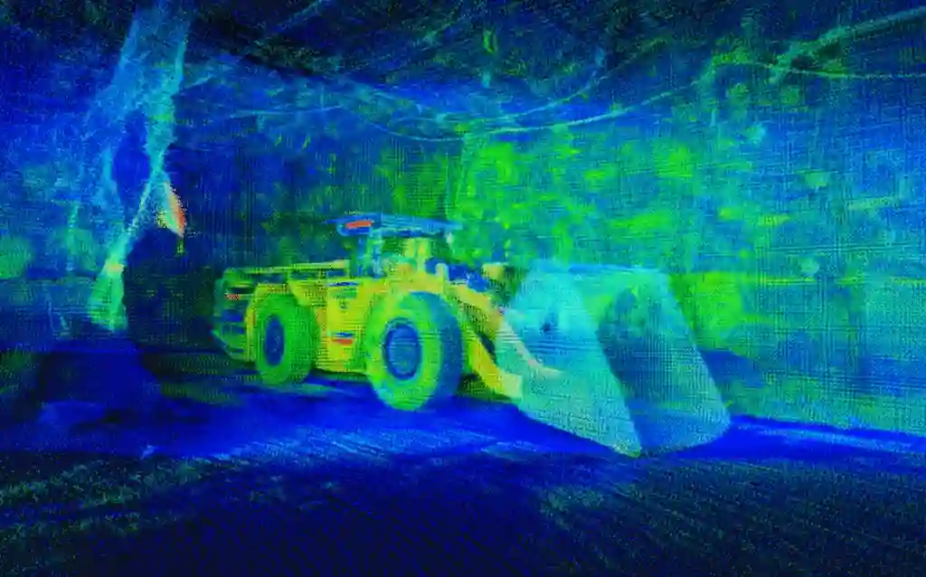
Raw data is automatically cleaned, aligned, and geo-referenced with minimal manual intervention. Processing that once took days is standardized and repeatable, accelerating turnaround without sacrificing accuracy.
3. Portal review
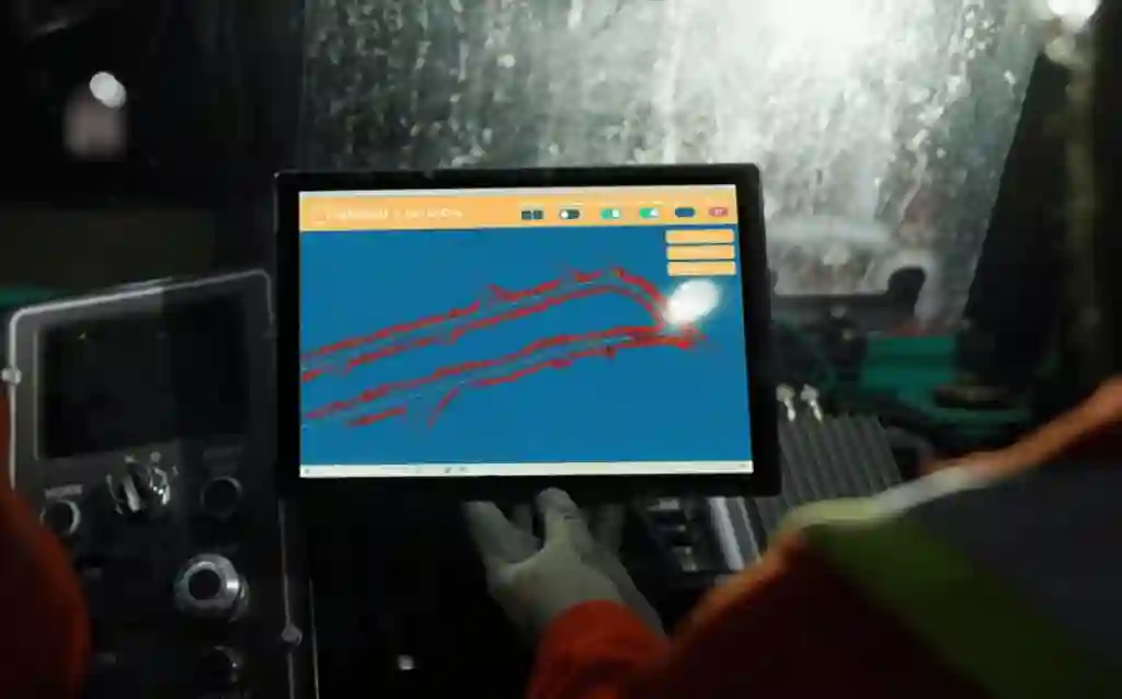
Survey teams and stakeholders securely access data through the portal to view, measure, and validate results. Exports are available in familiar formats, enabling collaboration without file handoffs or version confusion.
4. Decision output
Final deliverables flow directly into CAD, PIMS, and reporting tools to support planning, reconciliation, and compliance. Faster access to trusted data shortens decision cycles and reduces costly rework.
Every mine is different. At SafeSight, we start by understanding your workflows, constraints, and objectives, then align the right capture and processing tools to your operation.
1. Discovery first
We learn how your site operates, where data gaps exist, and what decisions the data needs to support.
2. Scoped solution alignment
Based on access, environment, and outcomes, we recommend the capture bundles and software that fit your mine, not a fixed package.
3. Clear path forward
If a pilot makes sense, we define scope, success metrics, and next steps together before any commitment.
Contact Us Form
Start a Technical Conversation
Thank you for reaching out. Our team will follow up shortly.