
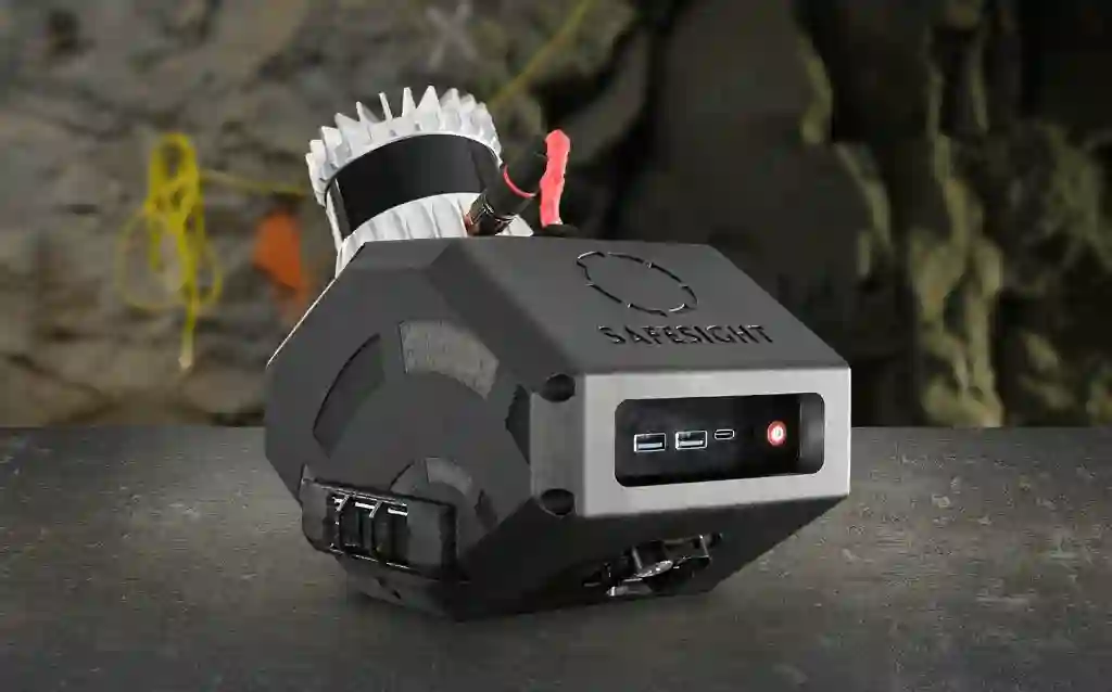
SafeScanner
The adaptable core for in-motion mapping.
Learn More → FIELD INTELLIGENCE / ONLINE
MINE PLANNERS BRIEFING 01
Close the gap between the plan and the reality of the rock face. SafeSight delivers high-fidelity 3D LiDAR data in minutes, not days, ensuring your engineering team designs from the most current underground geometry available.
DECISION-READY DATA FOR YOUR OPERATION.
reduction
in underground survey time.faster
stope validation cycles via real-time visualization.passes eliminated
by a single scan.THE DATA GAP
Traditional survey cycles create a “Data Gap.” When engineering designs are based on data that is 24 to 48 hours old, the result is increased dilution, unplanned overbreak, and costly rework.
Reduce the risk of heading divergence and misalignment.
Move from “Shift-End” updates to “In-Shift” intelligence.
THE SAFESIGHT ECOSYSTEM
Our ecosystem is built to feed your existing planning tech stack. The SafeScanner payload captures 200 meters of drift in 3 minutes, providing the high-density data required for millimeter-level engineering accuracy.
The adaptable core for in-motion mapping.
Learn More →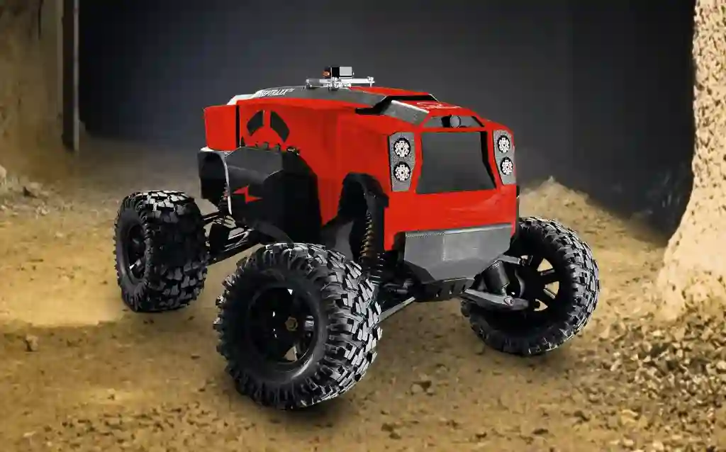
Rugged ground rover for hazardous linear development.
Learn More →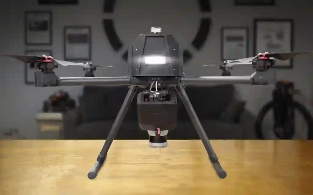
Aerial access for GPS-denied stopes and voids.
Learn More →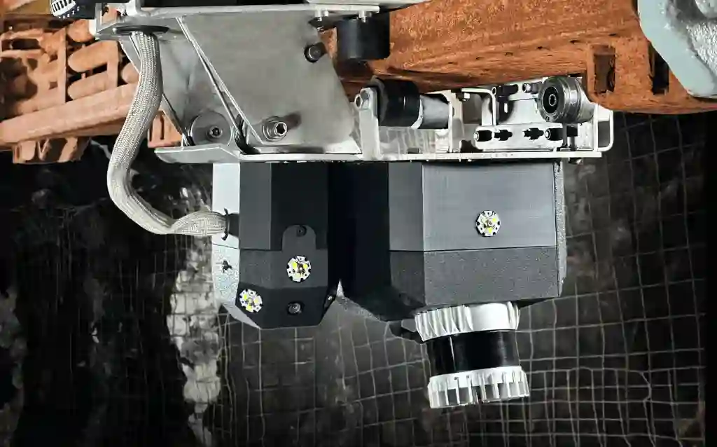
Specialized mapping for Alimak mining infrastructure.
Learn More →VALIDATED OUTCOMES
SafeSight doesn’t just offer survey tools, we offer a financial lever for your bottom line.
Minimize dilution by maintaining ore grade through precise development control.
Align crews to the intended plan with real-time visual baselines.
Accelerate stope reconciliation and volume turnover.
FRICTIONLESS INTEGRATION
SafeSight generates decision-ready data that fits your current planning cadence. We deliver seamless compatibility with the software your teams already use.
LAS, LAZ, e57, PCD, PLY, PTS, XYZ, OBJ.
Eclipsed, NimbVault, Maptek, Deswik, Datamine, Autodesk, Cyclone, RealWorks, FARO Scene, Mircomine, Hexagon MinePlan, ArcGIS Pro, Global Mapper Pro, CloudCompare, Pix4d, Agisoft Metashape, Reality Capture, PointCab, MeshLap & More
FIELD-READY BY DESIGN

NIMBVAULT PORTAL
Organize survey data by Mine, Level, and Drift. NimbVault provides secure, role-based access so everyone looks at the same map.
START WITH YOUR SITE
Every mine is different. Contact our technical team to schedule a workflow review or request a site-specific ROI breakdown based on your production rates.
Every mine is different. We start by understanding your workflows, constraints, and objectives, then align the right capture and processing tools to your operation.
KEEP EXPLORING
See the hybrid transition model and explore the white paper behind decision-ready planning data.