Mine Surveying
Precision Underground Mine Surveying: Decision Ready Data for Survey Leadership.
Deliver accurate, repeatable geometry without the backlog. SafeSight provides a unified 3D LiDAR ecosystem built to turn complex underground environments into clear, actionable insights in minutes.
Request an Impact BriefExplore our LiDAR TechStop the Backlog. Shatter the Data Latency Barrier.
Traditional data collection creates a bottleneck where decisions are based on data that is hours or days old. This latency leads to suboptimal designs and slow reconciliation cycles that survey teams are often blamed for.

Risk
Manual passes create high safety exposure in unsupported ground.

Delay
Fragmented tools lead to version confusion and rework.
One Core Sensor. Infinite Survey Applications.
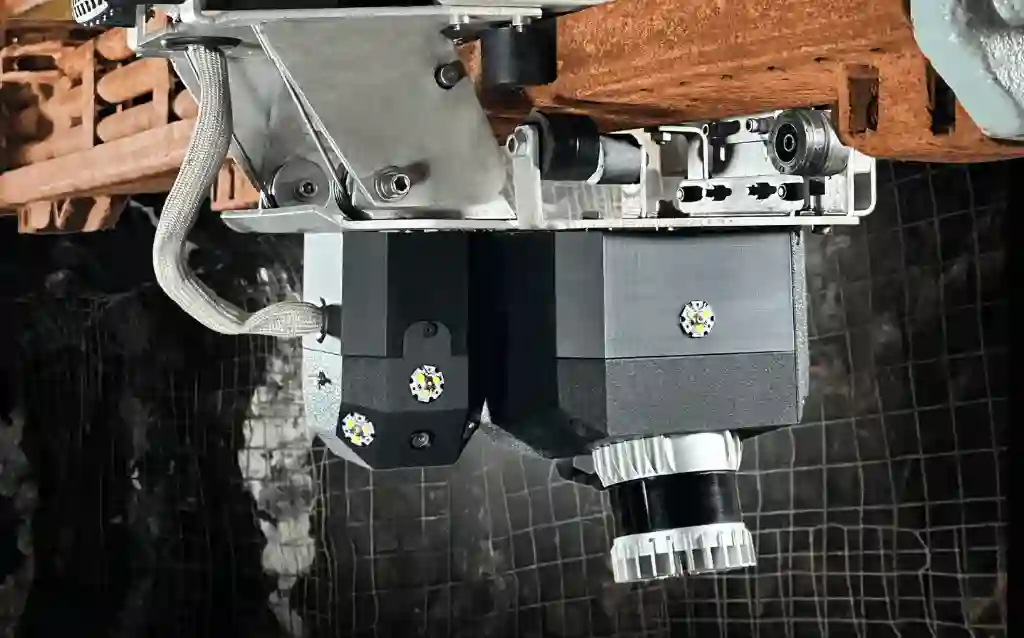
A single, powerful SafeScanner payload reconfigures across specialized platforms to meet the unique geometric and safety challenges of your mine.
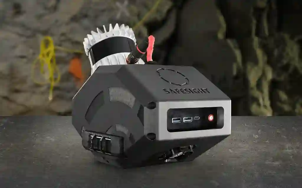
SafeScanner
The adaptable core for in-motion mapping.
Learn More
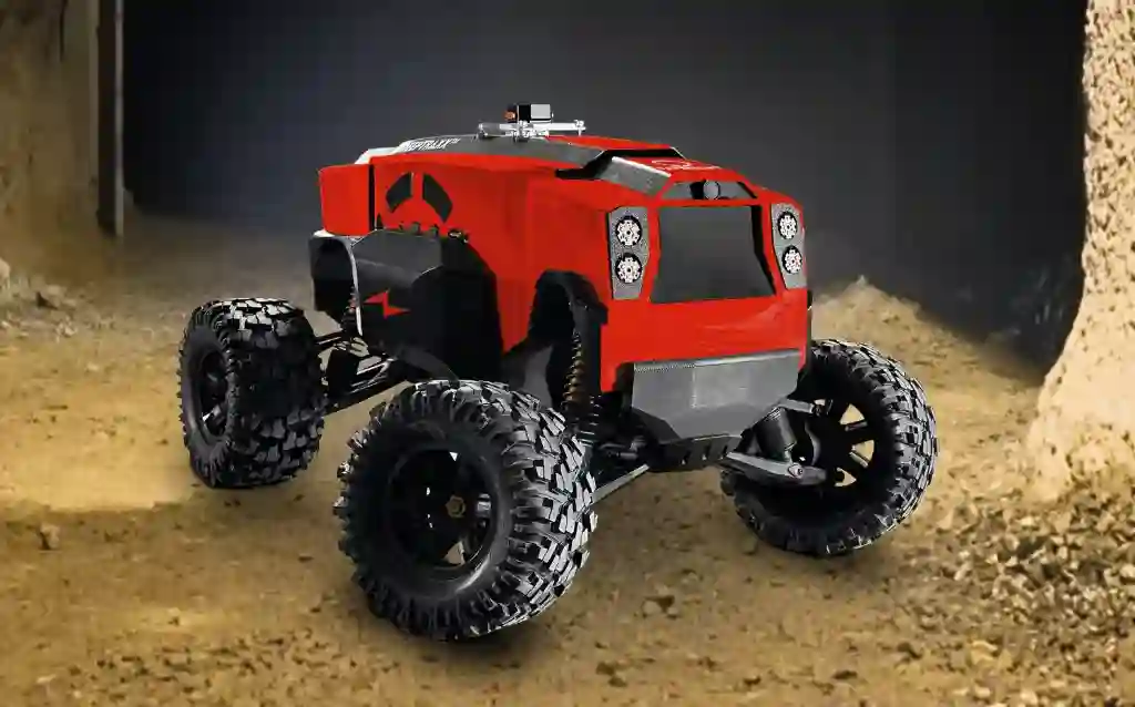
DeepTraxx
Rugged ground rover for hazardous linear development.
Learn More
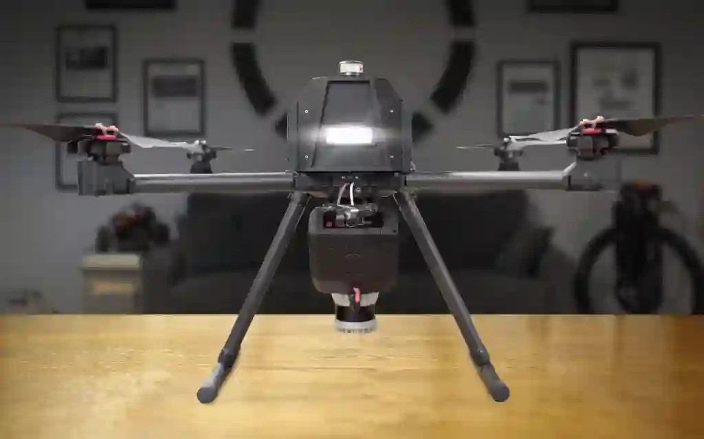
DBV Drone
Aerial access for GPS-denied stopes and voids.
Learn More
Rail Runner
Specialized mapping for Alimak mining infrastructure.
Learn More
50%
reduction
in underground survey time.
25%
faster
stope validation cycles via real-time visualization
5+
passes eliminated
by a single scan
Download White PaperDe-Risking Your Operation While Driving Strategic Profitability.
Position survey data as a direct operational and financial advantage.

$16.2M Recovered Value
Through improved reconciliation and stope visibility.

$4.5M Annual Benefit
From cycle time reduction and faster turnarounds.

$5.3M Protected
Annually by maintaining ore grade via dilution reduction.
Frictionless Integration with Your Existing Software.
Exportable and Convertible file types
LAS, LAZ, e57, PCD, PLY, PTS, XYZ, OBJ.
Seamlessly Compatible with
Eclipsed, NimbVault, Maptek, Deswik, Datamine, Autodesk,
Cyclone, RealWorks, FARO Scene, Mircomine, Hexagon MinePlan, ArcGIS Pro,
Global Mapper Pro, CloudCompare, Pix4d, Agisoft Metashape, Reality Capture, PointCab, MeshLap & More
Test out Sample DataEngineered for the Reality of the Underground.
GPS-Denied Navigation:
Reliable performance in deep underground environments.
Extreme Durability:
Stable operation in 0–50°C temperatures.
Active Avoidance:
Virtual collision prevention on the DBV Drone protects your asset and your data.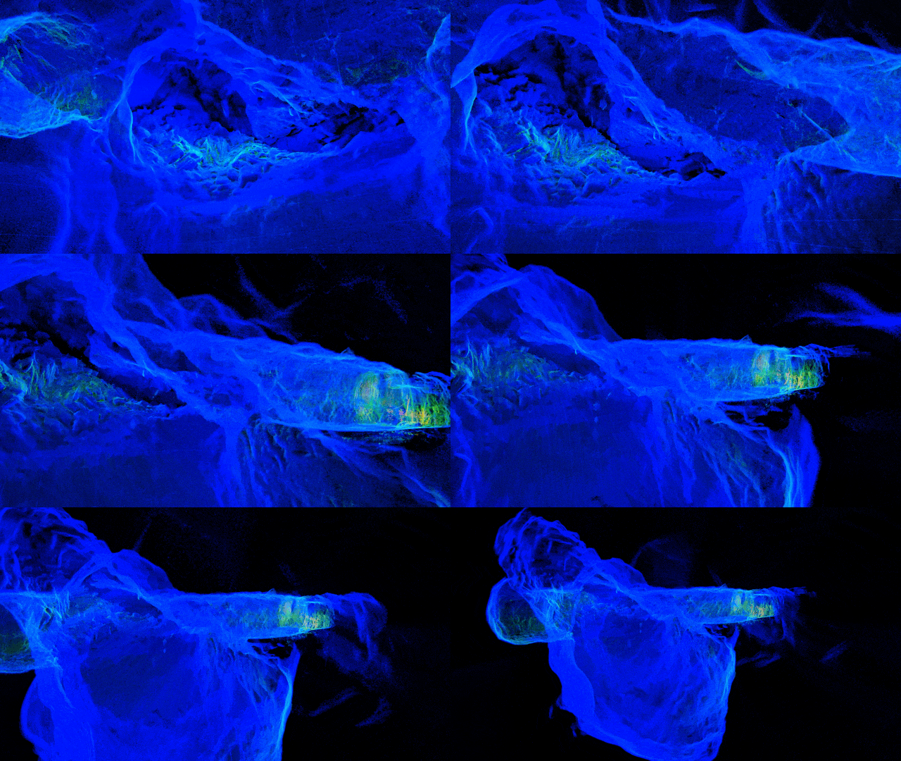
Centralized Data. Decentralized Decisions.
Organize survey data by Mine, Level, and Drift. NimbVault provides secure, role based access so everyone looks at the same map.

Multi-mine management
Historical audit trails
Built in 3D visualization
Learn More about our PortalReady to Start Your Proactive Shaft Management Program?
Request a live ROI demonstration populated with your site inputs or book a technical workflow review focused on your planning cadence.
Every mine is different. We start by understanding your workflows, constraints, and objectives, then align the right capture and processing tools to your operation.
1. Discovery first
We learn how your site operates, where data gaps exist, and what decisions the data needs to support.
2. Scoped solution alignment
Based on access, environment, and outcomes, we recommend the capture bundles and software that fit your mine, not a fixed package.
3. Clear path forward
If a pilot makes sense, we define scope, success metrics, and next steps together before any commitment. Contact Us FormStart a Technical Conversation Thank you for reaching out. Our team will follow up shortly.
Not ready to talk yet?
Get A Site-Specific ROI Demo