
STRUCTURE SCANNING 01
High Precision Structural Mapping: Rapid Insight for the Built Environment
Build accurate digital twins.
Map tunnels, parking structures, and city streets with survey grade LiDAR in motion. Capture millions of points in minutes to build accurate digital twins without interrupting traffic or public operations.
Your infrastructure. Your mapping cycle. Your numbers.
±8 MM
In-Motion Accuracy
50%+
Survey Time Reduction
100%
Coverage Verification
0 HR
Traffic Interruption
Infrastructure Survey Shouldn't Stop Your Operations
Traditional static scanning requires road closures and hours of manual setup. In high traffic areas or GPS-denied tunnels, this means delayed timelines and increased safety risks. You need data that keeps pace with your project.
A Unified Workflow for Structural Mapping Intelligence
We collapse the timeline between capture and decision with an end to end ecosystem designed for complex built environments.
Capture
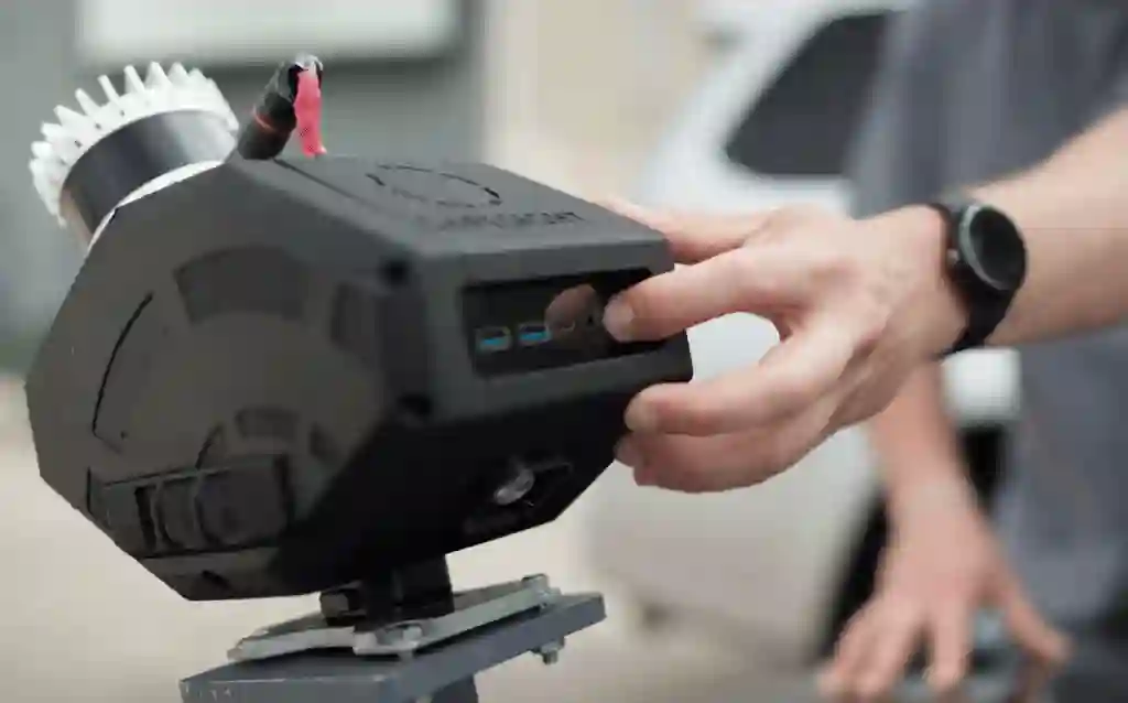
Deploy the SafeScanner on the DeepTraxx rover, DBV Drone, or Vehicle Mount to capture full geometry in minutes.
Process
Automated cleaning and geo-referencing in Eclipsed transforms raw point clouds into survey-grade models.
Act
Securely share and measure data in the NimbVault Portal for immediate clearance and alignment checks.
Verify Coverage in the Field. Eliminate Rework.
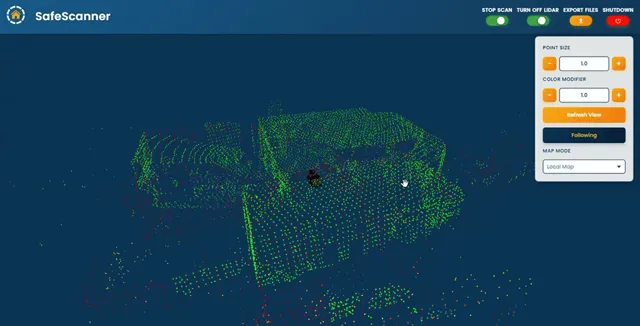
Our Live Render technology provides a real-time 3D view as you scan. Operators can confirm 100% high precision data coverage of a structure instantly, ensuring the survey is done right the first time.
- Real-time coverage validation for complex geometries.
- ±8 mm accuracy for in-motion capture.
- Instant clearance and alignment analysis.
Quantifiable Gains for Engineering Teams

Efficiency
Reduce total survey time by more than 50% compared to static methods.

Reliability
Replace multiple manual passes with a single high-density scan.

Safety
Reduce worker exposure in high-traffic or hazardous structural zones.

Precision
Achieve millimetre-level alignment for critical structural assets.
Engineered for Every Structural Challenge
Tunnels & Transit
High speed scanning for rail and road tunnels without GPS.
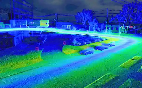
Parking Infrastructure
Rapid floor and column mapping for structural health audits.
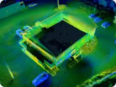
Municipal Streets
Surface topography and utility mapping for urban planning.
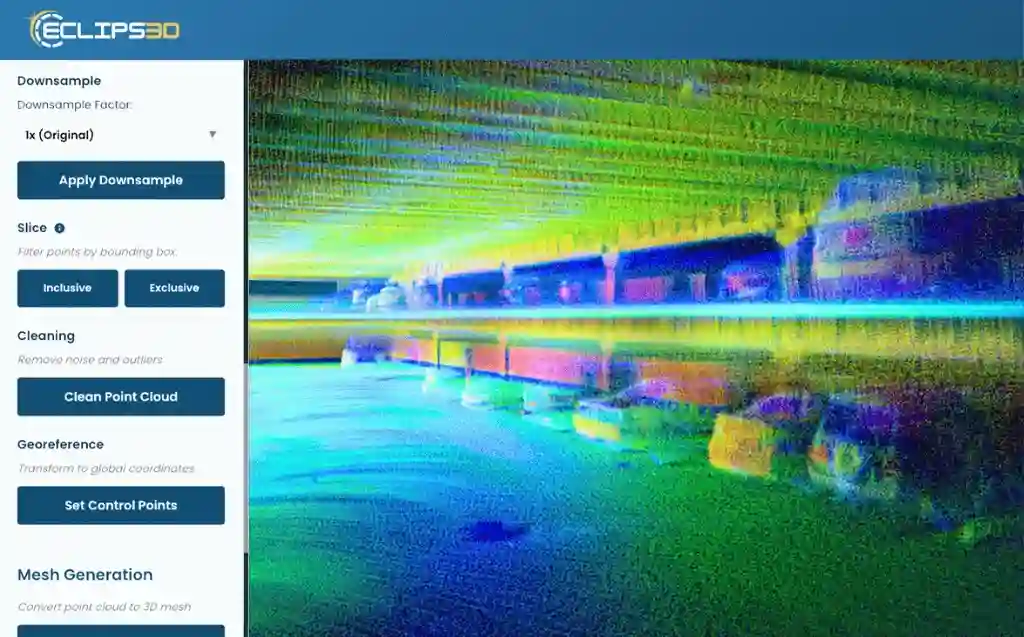
Indoor Spaces
Large scale facility mapping for digital twins and renovation.
High Precision Data for Your Existing Tech Stack
EXPORTABLE FILES
LAS, LAZ, e57, PCD, PLY, PTS, XYZ, OBJ.
SEAMLESSLY COMPATIBLE
Eclipsed, NimbVault, Maptek, Deswik, Datamine, Autodesk, Cyclone, RealWorks, FARO Scene, Mircomine, Hexagon MinePlan, ArcGIS Pro, Global Mapper Pro, CloudCompare, Pix4d, Agisoft Metashape, Reality Capture, PointCab, MeshLap & More