Hidden Conflicts
Utility relocation, ventilation changes, wall remediation, back scaling, corner modification, and clearance work can severely impact project economics.
 FIELD INTELLIGENCE / ONLINE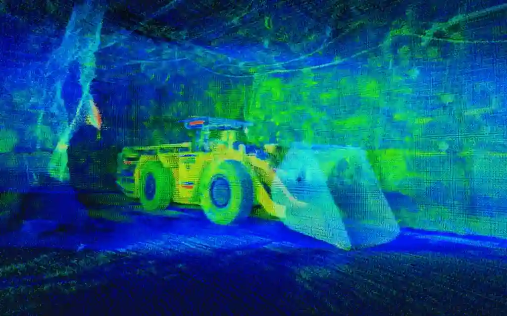
UNDERGROUND RAMP SCANNING 01
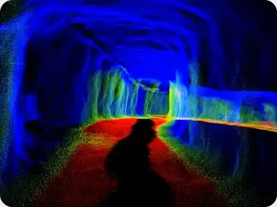
SafeSight captures continuous 3D geometry across underground mine ramps to support equipment clearance, as-built documentation, infrastructure planning and long-route mine mapping.
Continuous Route Capture.
Document the ramp network
Measure equipment space
Identify interference areas
Capture actual ramp geometry
01 Clearance constraints
Increasing underground equipment size can improve capacity. But the business case changes if the new machine requires:
Utility relocation, ventilation changes, wall remediation, back scaling, corner modification, and clearance work can severely impact project economics.
A complete ramp scan allows those constraints to be identified before equipment arrives underground, avoiding unexpected downtime.
02 Spatial planning process
Capture continuous 3D ramp geometry using the mobile configuration suited to the route.
Overlay equipment dimensions and required tolerances against the captured underground envelope.
Identify potential interference areas and use the resulting data to support remediation planning before equipment deployment.
03 Equipment fit analysis
SafeSight can compare captured underground geometry with an approved equipment envelope.
Potential interaction zones can then be classified according to client-defined tolerances.
Tolerance values must be defined by the client.
04 Field case study
SafeSight has previously used in-motion LiDAR to capture ramps, drifts and shops and compare the resulting 3D geometry against larger underground equipment.
The resulting heat-map approach identified potential collision and near-contact areas so the operation could estimate remediation requirements before equipment introduction.
05 Output value
Create an updated 3D representation of the ramp.
Understand the spatial relationship between the excavation and services.
Measure the available operating envelope.
Support planning for areas requiring modification.
Maintain continuous spatial documentation across large ramp networks.
Build a time-based digital record of the route.
06 Service distinction
Both services use similar spatial-capture technology, but their commercial intent differs.
focuses on:
Need lateral development mapping?
Explore Drift Scanning →focuses on:
07 Platform selection
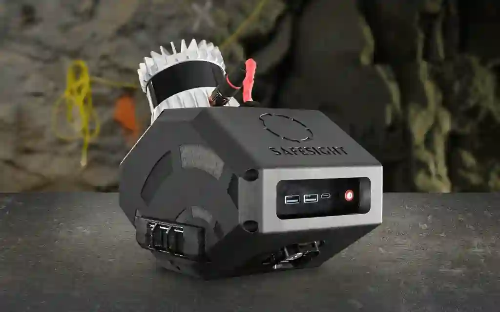
Rapid mobile capture where normal vehicle access is available.
08 Data pipeline
Capture
Verify
Process
Visualize
Compare
Plan
09 Deliverables
Final scope depends on the project. Potential outputs include:
Georeferenced spatial data.
Continuous ramp representation.
Ramp sections for planning.
Clearance profile documentation.
Equipment-envelope comparison.
Visual interference analysis.
Interference-location report.
As-built geometry record.
Compatible technical files.
Web-based 3D visualization.
10 Related reading
A SafeSight project using mobile LiDAR for ramp scanning and equipment clearance.
Read Article →An overview of spatial data capture across the underground environment.
Read Article →How drones and mobile scanning integrate with the mine surveying workflow.
Read Article →11 Deep dive
Underground ramp scanning uses mobile LiDAR or another spatial capture method to create a continuous three-dimensional record of the mine's access and haulage routes. The resulting geometry can support clearance studies, as-built documentation, equipment planning and infrastructure management.
A captured 3D ramp model can be compared with an equipment envelope that represents the machine dimensions and required operating clearance. Locations where the route approaches or intersects the required envelope can then be identified for further engineering review.
Equipment specifications describe the machine. They do not describe the mine route. Scanning the actual underground geometry gives the operation a way to test equipment fit against the environment before mobilization.
12 Field guide / Questions answered
Underground ramp scanning uses mobile LiDAR or another spatial capture method to create a continuous three-dimensional record of the mine's access and haulage routes.
Yes. SafeSight captures continuous 3D geometry across long access routes and haulage corridors, depending on the route conditions and selected mapping platform.
Yes. The captured 3D ramp model can be compared against an equipment envelope to measure available operating clearance before the actual equipment goes underground.
Yes. SafeSight can compare the underground geometry with an approved equipment envelope and classify potential interaction zones according to client-defined tolerances.
Mobile LiDAR captures the visible physical geometry of the ramp environment, which can include visible vent ducting, services, and installed infrastructure, helping you understand the spatial relationship between the excavation and services.
While both use similar spatial capture technology, drift scanning focuses on localized lateral development and headings. Ramp scanning focuses on long access routes, continuous haulage corridors, and route-wide equipment clearance.
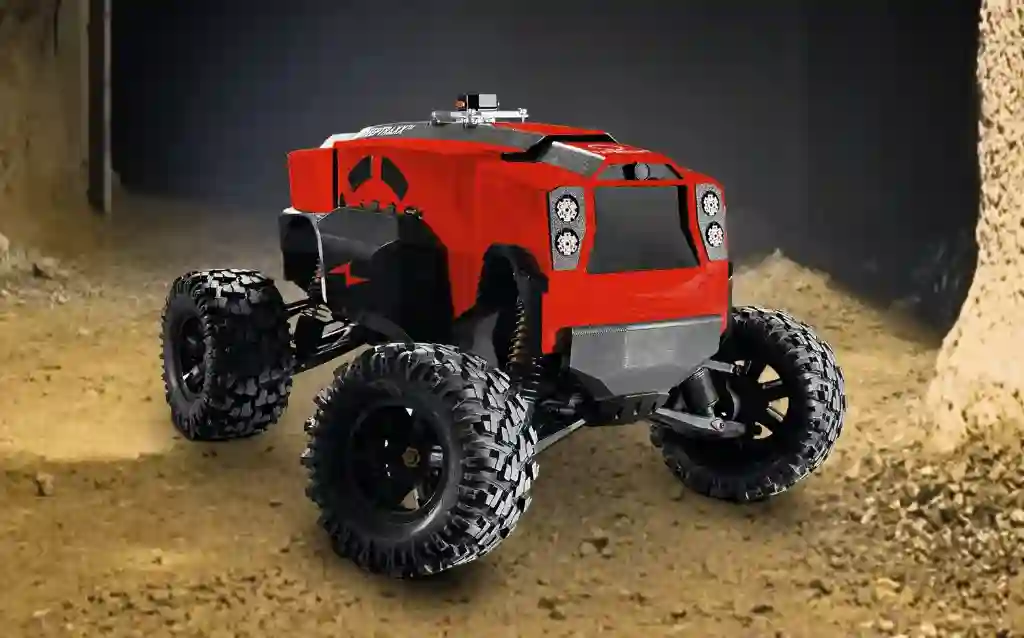
DeepTraxx can be used for remote ground mapping in appropriate ramp areas where conventional access is restricted or unsupported.
Yes. Repeat scanning builds a time-based digital record of the route, documenting rehabilitation, modifications, or long-term geometric changes.
Send SafeSight the target route and equipment envelope. We will scope the appropriate scanning workflow and determine what spatial data is required to answer the clearance question.